Vecteezy logo
Vecteezy logo
Vectors
Expand vectors navigation
Trending Searches
Top Searches
Backgrounds
Banners
Plants
Flowers
Pattern
Wedding
People
Landscape
Photos
Expand photos navigation
Trending Searches
Top Searches
Nature
Lifestyle
Animals
Food & Drink
Travel
Business
Textures
Cityscapes
Videos
Expand videos navigation
Trending Searches
Top Searches
Family
Timelapses
Animals
Travel
Lifestyle
Aerials
Nature
Backgrounds
Templates
Expand templates navigation
Trending Searches
Top Searches
Business Cards
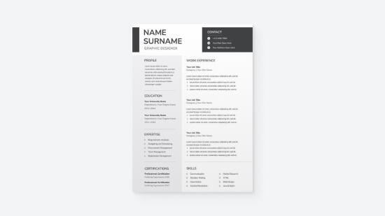
Resumes
Greeting Cards
Instagram Posts
YouTube Banners
Facebook Posts
Certificates
Presentations
Templates
Bundles
More
Expand more navigation
SVGs
Logos
Flowers
Hearts
Arrows
See more SVGs
PNGs
Flower
Frame
Heart
Tree
See more PNGs
PSDs
Logos
Banners
Text Effects
Business Cards
See more PSDs
Custom Design
Expand custom design navigation
Customize Any of Our Images
Custom Illustration
Custom Marketing Designs
Custom Logo Design
Custom Branding & Brand Design
Custom Print Designs
Custom Graphic Design
Custom Packaging Design
Custom Presentation Slides
My Collections
Plans
Plans
Vectors
Trending Searches
Backgrounds
Banners
Plants
Flowers
Pattern
Wedding
People
Landscape
Vector Pages
Homepage
Top Searches
Photos
Trending Searches
Nature
Lifestyle
Animals
Food & Drink
Travel
Business
Textures
Cityscapes
Photo Pages
Homepage
Top Searches
Videos
Trending Searches
Family
Timelapses
Animals
Travel
Lifestyle
Aerials
Nature
Backgrounds
Video Pages
Homepage
Top Searches
Bundles
More
SVGs
PNGs
PSDs
Custom Design
Customize Any of Our Images
Custom Illustration
Custom Marketing Designs
Custom Logo Design
Custom Branding & Brand Design
Custom Print Designs
Custom Graphic Design
Custom Packaging Design
Custom Presentation Slides
My Collections
Sign Up
Free
Log In
0
Plans
Sign Up
Free
Log In
Vectors
Expand filters
All Images
Photos
PNGs
PSDs
SVGs
Templates
Vectors
Videos
Search by Image
Search
Search by Image
Explore Other Popular Vector Searches
Recent searches
isolated illustration of simplified administrative map of Mexico, United Mexican States. Borders and names of the provinces, regions. Grey silhouettes. White outline Pro Vector
dearladydear
3,090 Resources
Follow
Free with Trial
No Attribution Required
Bookmark icon
Collection
Similar icon
Similar
Share icon
Share
Checkmark icon
Pro License
What's This?
Pro Content
Why Pro?
Related Keywords